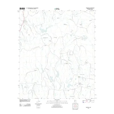
2012 Map of Kingston
USGS Topo · Published 2012About this map
The settlement of Kingston sits at the heart of this Adams County landscape, a region defined by its deep agricultural history and extensive twentieth-century petroleum development. Numerous family-named cemeteries, such as Surget Cem, Calvin Smith Cem, and King Cem, are scattered throughout the territory, providing vital coordinates for genealogists and local historians tracing the area's legacy. The terrain is deeply carved by a network of waterways including Second Cr, Lynn Cr, and several bayous like Sharp Bayou and Coldhill Bayou.
Find a feature on this map
124 named features on this map. Tap any name to fly to it.
Don’t see what you’re looking for? This feature index may not catch every label — zoom into the map to look around manually.
Map Details
Editions of this 2012 Kingston Map
This is the sole edition of this map. No revisions or reprints were ever made.
Other maps of this area

1909 · Vidalia
USGS Topo · 1:24,000

1921 · Natchez
USGS Topo · 1:48,000

1922 · Natchez
USGS Topo · 1:62,500

1939 · Natchez
USGS Topo · 1:62,500

1939 · Kingston
USGS Topo · 1:62,500

1953 · Natchez
USGS Topo · 1:250,000

1956 · Natchez
USGS Topo · 1:250,000

1958 · Kingston
USGS Topo · 1:62,500

1959 · Natchez
USGS Topo · 1:250,000

1961 · Crosby
USGS Topo · 1:62,500