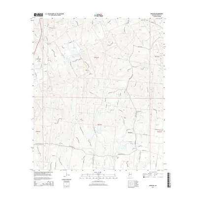
2015 Map of Kingston
USGS Topo · Published 2015About this map
Kingston and the surrounding plantation lands of Adams County are defined by a complex network of bayous and creeks that drain toward the Mississippi River. This modern survey illustrates the persistent cultural footprint of the early 19th-century plantation economy, where road names like Cherry Grove Plantation Rd, Moss Hill Plantation Rd, and Wayside Plantation Rd still delineate historical landholdings. For genealogists, the map is particularly valuable for its documentation of family and community burial grounds, including Surget Cem, Calvin Smith Cem, and King Cem, often located near the historical centers of these estates. The landscape is deeply dissected by watercourses such as Second Cr, Fango Bayou, and Sharp Bayou, which dictated the placement of early settlements and the winding paths of rural roads that continue to serve the region today.
Find a feature on this map
97 named features on this map. Tap any name to fly to it.
Don’t see what you’re looking for? This feature index may not catch every label — zoom into the map to look around manually.
Map Details
Editions of this 2015 Kingston Map
This is the sole edition of this map. No revisions or reprints were ever made.
Other maps of this area

1909 · Vidalia
USGS Topo · 1:24,000

1921 · Natchez
USGS Topo · 1:48,000

1922 · Natchez
USGS Topo · 1:62,500

1939 · Natchez
USGS Topo · 1:62,500

1939 · Kingston
USGS Topo · 1:62,500

1953 · Natchez
USGS Topo · 1:250,000

1956 · Natchez
USGS Topo · 1:250,000

1958 · Kingston
USGS Topo · 1:62,500

1959 · Natchez
USGS Topo · 1:250,000

1961 · Crosby
USGS Topo · 1:62,500