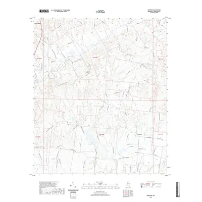
2020 Map of Kingston
USGS Topo · Published 2020About this map
The settlement of Kingston anchors this landscape in Adams County, where the topography is defined by an intricate network of waterways draining toward the Mississippi River. Numerous plantation roads, such as Cherry Grove Plantation Rd and Retirement Plantation Rd, trace the historic land divisions and agricultural legacy of the region. Family and community heritage is deeply rooted here, evidenced by several scattered burial sites including Surget Cem, Calvin Smith Cem, King Cem, and the Kingston Cemetery.
Find a feature on this map
98 named features on this map. Tap any name to fly to it.
Don’t see what you’re looking for? This feature index may not catch every label — zoom into the map to look around manually.
Map Details
Editions of this 2020 Kingston Map
This is the sole edition of this map. No revisions or reprints were ever made.
Other maps of this area

1909 · Vidalia
USGS Topo · 1:24,000

1921 · Natchez
USGS Topo · 1:48,000

1922 · Natchez
USGS Topo · 1:62,500

1939 · Natchez
USGS Topo · 1:62,500

1939 · Kingston
USGS Topo · 1:62,500

1953 · Natchez
USGS Topo · 1:250,000

1956 · Natchez
USGS Topo · 1:250,000

1958 · Kingston
USGS Topo · 1:62,500

1959 · Natchez
USGS Topo · 1:250,000

1961 · Crosby
USGS Topo · 1:62,500