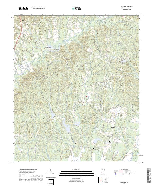
2024 Map of Kingston
USGS Topo · Published 2024About this map
Mantua Mounds, Voucherie Mounds, and Anna Mounds distinguish this landscape south of Natchez, where prehistoric earthworks are preserved alongside the colonial and plantation-era settlements of Adams County. The terrain is defined by a dense network of watercourses, including Second Creek, Lynn Creek, and Sharp Bayou, which have historically shaped the agricultural boundaries and transportation routes of the region. The settlement of Kingston serves as a local focal point, surrounded by numerous family and community landmarks such as Kingston Cem and Farrar - King Cem. Roads like Moorland Pltn Rd and Commencement Plantation Rd reflect the enduring footprint of former plantation boundaries. This survey documents the intersection of ancient Indigenous earthworks with the rural infrastructure of modern Mississippi, offering a clear view of how topographic features influenced centuries of human habitation.
Find a feature on this map
101 named features on this map. Tap any name to fly to it.
Don’t see what you’re looking for? This feature index may not catch every label — zoom into the map to look around manually.
Map Details
Editions of this 2024 Kingston Map
This is the sole edition of this map. No revisions or reprints were ever made.
Other maps of this area

1909 · Vidalia
USGS Topo · 1:24,000

1921 · Natchez
USGS Topo · 1:48,000

1922 · Natchez
USGS Topo · 1:62,500

1939 · Natchez
USGS Topo · 1:62,500

1939 · Kingston
USGS Topo · 1:62,500

1953 · Natchez
USGS Topo · 1:250,000

1956 · Natchez
USGS Topo · 1:250,000

1958 · Kingston
USGS Topo · 1:62,500

1959 · Natchez
USGS Topo · 1:250,000

1961 · Crosby
USGS Topo · 1:62,500