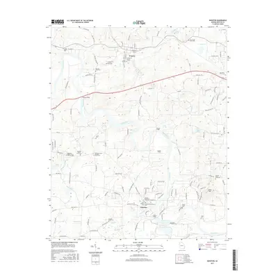
2017 Map of Kingston
USGS Topo · Published 2017About this map
The Etowah River carves a winding path through this portion of Bartow County, where the historic settlements of Kingston and Euharlee serve as focal points for a landscape steeped in local history. The town of Kingston is a significant site for genealogists, featuring the Confederate Cem in Kingston and the Kingston City Cem near the CSX Transportation rail line. To the south, the community of Euharlee is situated at the confluence of Euharlee Creek and the river, anchored by landmarks like the Euharlee Presbyterian Church Cem and the Black Pioneers Cem.
Find a feature on this map
129 named features on this map. Tap any name to fly to it.
Don’t see what you’re looking for? This feature index may not catch every label — zoom into the map to look around manually.
Map Details
Editions of this 2017 Kingston Map
This is the sole edition of this map. No revisions or reprints were ever made.
Other maps of this area

1886 · Rome
USGS Topo · 1:125,000

1890 · Cartersville
USGS Topo · 1:125,000

1891 · Cartersville
USGS Topo · 1:125,000

1896 · Cartersville
USGS Topo · 1:125,000

1898 · Rome
USGS Topo · 1:125,000

1899 · Rome
USGS Topo · 1:125,000

1904 · Rome
USGS Topo · 1:125,000

1906 · Stilesboro
USGS Topo · 1:62,500

1908 · Stilesboro
USGS Topo · 1:62,500

1941 · Adairsville
USGS Topo · 1:62,500