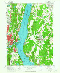
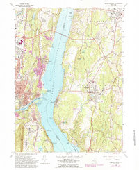
1963 Map of Kingston East
USGS Topo · Published 1965About this map
The Hudson River bisects this mid-1960s survey, serving as a deep-water corridor between the industrial hubs of Kingston and the riverfront estates of Dutchess County. The newly completed Kingston-Rhinecliff Bridge represents a modern era of connectivity, yet the landscape remains anchored by the river's historic transport economy. On the western bank, the confluence of Rondout Creek and the Hudson shows the dense settlement of Sleightsburg and Port Ewen, while the New York Central railroad lines trace the eastern shoreline. Significant local landmarks like the Cardinal Farley Military Academy and Kingston-Ulster Airport reflect the area's mid-century institutional and logistical growth. From the industrial quarries near East Kingston to the educational grounds of Rhinebeck School, the map documents a region balancing its maritime heritage with suburban expansion.
Find a feature on this map
102 named features on this map. Tap any name to fly to it.
Don’t see what you’re looking for? This feature index may not catch every label — zoom into the map to look around manually.
Map Details
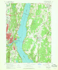
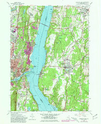
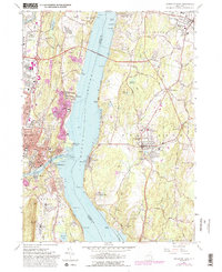
Editions of this 1963 Kingston East Map
5 editions found
Other maps of this area

1892 · Kaaterskill
USGS Topo · 1:62,500

1893 · Kaaterskill
USGS Topo · 1:62,500

1894 · Kaaterskill
USGS Topo · 1:62,500

1895 · Catskill
USGS Topo · 1:62,500

1898 · Rhinebeck
USGS Topo · 1:62,500

1899 · Kaaterskill
USGS Topo · 1:62,500

1901 · Rosendale
USGS Topo · 1:62,500

1903 · Rosendale
USGS Topo · 1:62,500

1903 · Kaaterskill
USGS Topo · 1:62,500

1934 · Rhinebeck
USGS Topo · 1:48,000