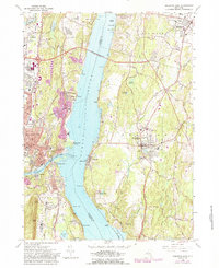
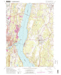
1963 Map of Kingston East
USGS Topo · Published 1988About this map
The Hudson River bisects this landscape, serving as the central artery between the communities of Kingston and Rhinebeck. In the mid-twentieth century, the Kingston-Rhinecliff Bridge provided a vital link between Ulster and Dutchess counties, while the Conrail line traced the river's eastern bank. Local life is anchored by numerous institutions, from the Cardinal Farley Military Academy to the St Colmans Sch and Sem. The map records a complex coastal boundary where the Rondout Creek meets the Hudson, near the settlements of Sleightsburg and Port Ewen. Further inland, family and faith landmarks such as Stone Ch and Pine Bush Cem dot the landscape near Weys Corners, offering a detailed view of the region's social and religious geography before later modern developments altered the character of these riverside towns.
Find a feature on this map
83 named features on this map. Tap any name to fly to it.
Don’t see what you’re looking for? This feature index may not catch every label — zoom into the map to look around manually.
Map Details
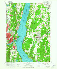
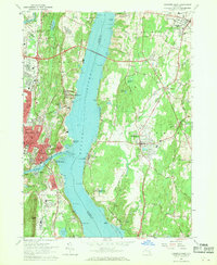
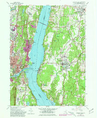
Editions of this 1963 Kingston East Map
5 editions found
Other maps of this area

1892 · Kaaterskill
USGS Topo · 1:62,500

1893 · Kaaterskill
USGS Topo · 1:62,500

1894 · Kaaterskill
USGS Topo · 1:62,500

1895 · Catskill
USGS Topo · 1:62,500

1898 · Rhinebeck
USGS Topo · 1:62,500

1899 · Kaaterskill
USGS Topo · 1:62,500

1901 · Rosendale
USGS Topo · 1:62,500

1903 · Rosendale
USGS Topo · 1:62,500

1903 · Kaaterskill
USGS Topo · 1:62,500

1934 · Rhinebeck
USGS Topo · 1:48,000