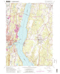
1963 Map of Kingston East
USGS Topo · Published 1988About this map
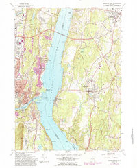
Hudson River commerce and shoreline industry define this mid-century survey of the crossing between Ulster and Dutchess counties. The landscape is anchored by the Kingston-Rhinecliff Bridge, which links the urbanized centers of Kingston and Rondout to the historic riverside landings of Rhinecliff and Barrytown. Along the western bank, the convergence of Rondout Creek and Esopus Creek near Sleightsburg and Port Ewen highlights a dense network of maritime and rail infrastructure, including the Conrail lines that trace the river's edge.
Find a feature on this map
96 named features on this map. Tap any name to fly to it.
Don’t see what you’re looking for? This feature index may not catch every label — zoom into the map to look around manually.
Map Details
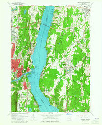
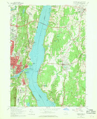
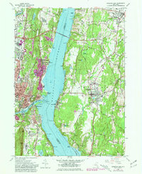
Editions of this 1963 Kingston East Map
5 editions found
Other maps of this area

1892 · Kaaterskill
USGS Topo · 1:62,500

1893 · Kaaterskill
USGS Topo · 1:62,500

1894 · Kaaterskill
USGS Topo · 1:62,500

1895 · Catskill
USGS Topo · 1:62,500

1898 · Rhinebeck
USGS Topo · 1:62,500

1899 · Kaaterskill
USGS Topo · 1:62,500

1901 · Rosendale
USGS Topo · 1:62,500

1903 · Rosendale
USGS Topo · 1:62,500

1903 · Kaaterskill
USGS Topo · 1:62,500

1934 · Rhinebeck
USGS Topo · 1:48,000