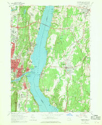
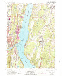
1963 Map of Kingston East
USGS Topo · Published 1970About this map
The Hudson River serves as the central artery of this 1960s landscape, separating the bustling riverfront communities of Kingston and Port Ewen on the west from the estate-dotted shorelines of Rhinebeck and Rhinecliff to the east. The Kingston-Rhinecliff Bridge provides a modern link between these shores, while the tracks of the New York Central RR and Central New York RR trace the water's edge, highlighting the area's deep-rooted reliance on transportation.
Find a feature on this map
110 named features on this map. Tap any name to fly to it.
Don’t see what you’re looking for? This feature index may not catch every label — zoom into the map to look around manually.
Map Details
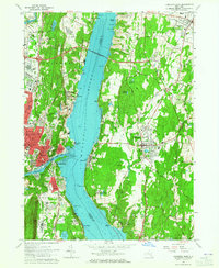
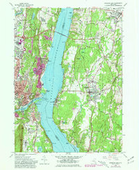
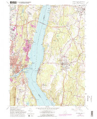
Editions of this 1963 Kingston East Map
5 editions found
Other maps of this area

1892 · Kaaterskill
USGS Topo · 1:62,500

1893 · Kaaterskill
USGS Topo · 1:62,500

1894 · Kaaterskill
USGS Topo · 1:62,500

1895 · Catskill
USGS Topo · 1:62,500

1898 · Rhinebeck
USGS Topo · 1:62,500

1899 · Kaaterskill
USGS Topo · 1:62,500

1901 · Rosendale
USGS Topo · 1:62,500

1903 · Rosendale
USGS Topo · 1:62,500

1903 · Kaaterskill
USGS Topo · 1:62,500

1934 · Rhinebeck
USGS Topo · 1:48,000