
1957 Map of Kingston
USGS Topo · Published 1959About this map
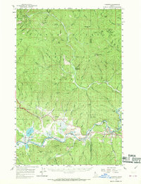
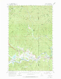
The Cataldo Mission stands as a focal point in this 1950s survey of the Coeur d'Alene River valley. The river meanders across Mission Flats, creating a corridor for the Union Pacific Railroad and U.S. 10 that connects the settlements of Cataldo, Dudley, and Kingston. This area serves as a critical junction where the North Fork Coeur d'Alene River joins the main branch, a landscape defined by industrial and religious history. Higher elevations within the Coeur d'Alene National Forest are marked by significant peaks such as Skitwish Peak and Bumblebee Peak, while Rose Lake provides a distinct landmark in the west. The presence of the Canyon School and several Prospect labels illustrates the distribution of community and early mining interests across this mountain-and-river terrain.
Find a feature on this map
95 named features on this map. Tap any name to fly to it.
Don’t see what you’re looking for? This feature index may not catch every label — zoom into the map to look around manually.
Map Details
Editions of this 1957 Kingston Map
3 editions found
Other maps of this area

1903 · Rathdrum
USGS Topo · 1:125,000

1909 · Cataldo
USGS Topo · 1:125,000

1911 · Cataldo
USGS Topo · 1:125,000

1950 · Rochat Peak
USGS Topo · 1:24,000

1950 · Twin Crags
USGS Topo · 1:24,000

1952 · Rochat Peak
USGS Topo · 1:24,000

1952 · Twin Crags
USGS Topo · 1:24,000

1955 · Spokane
USGS Topo · 1:250,000

1957 · St. Maries
USGS Topo · 1:62,500

1957 · Kellogg
USGS Topo · 1:62,500