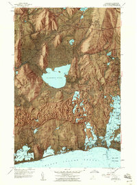
1957 Map of Kingston
USGS Topo · Published 1959About this map
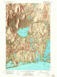
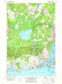
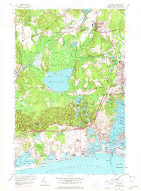
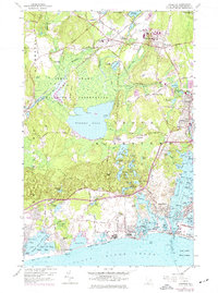
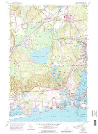
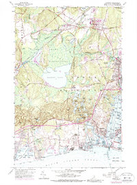
The University of Rhode Island sits at the heart of this mid-century coastal landscape, surrounded by the shifting academic and agricultural life of Kingston. To the west, the sprawling Great Swamp Wildlife Reservation preserves a significant stretch of wetlands, including the historic Great Swamp Fight Site and the expansive Wordens Pond. The transport network of the era is anchored by the New York New Haven and Hartford railroad, which services the community at Kingston Station.
Find a feature on this map
149 named features on this map. Tap any name to fly to it.
Don’t see what you’re looking for? This feature index may not catch every label — zoom into the map to look around manually.
Map Details
Editions of this 1957 Kingston Map
10 editions found
Other maps of this area

1889 · Charlestown
USGS Topo · 1:62,500

1889 · Newport
USGS Topo · 1:62,500

1890 · Narragansett Bay
USGS Topo · 1:62,500

1890 · Kent
USGS Topo · 1:62,500

1892 · Narragansett Bay
USGS Topo · 1:62,500

1894 · Kent
USGS Topo · 1:62,500

1894 · Newport
USGS Topo · 1:62,500

1904 · Newport
USGS Topo · 1:62,500

1919 · Charlestown
USGS Topo · 1:62,500

1919 · Narragansett Bay
USGS Topo · 1:62,500