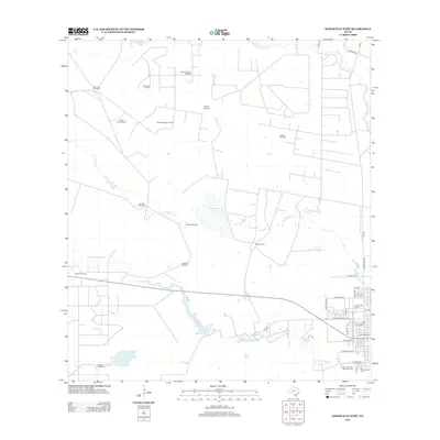
2013 Map of Kingsville West
USGS Topo · Published 2013About this map
King Ranch dominates the southern landscape of this South Texas survey, where the brush country meets the western residential expansion of Kingsville. The area is defined by its deep ranching and industrial roots, featuring a dense network of private landmarks including the Mota Huisache Windmill, Arredondo Windmill, and Palo Lobo Windmill. These features, along with the Muerto Pens, indicate a sophisticated mid-century water management system necessary for large-scale cattle operations in this arid environment.
Find a feature on this map
41 named features on this map. Tap any name to fly to it.
Don’t see what you’re looking for? This feature index may not catch every label — zoom into the map to look around manually.
Map Details
Editions of this 2013 Kingsville West Map
This is the sole edition of this map. No revisions or reprints were ever made.
Other maps of this area

1917 · Ben Bolt
USGS Topo · 1:62,500

1921 · Falfurrias
USGS Topo · 1:125,000

1928 · Sarita
USGS Topo · 1:125,000

1950 · Corpus Christi
USGS Topo · 1:250,000

1954 · Kingsville
USGS Topo · 1:62,500

1954 · Riviera
USGS Topo · 1:62,500

1956 · Corpus Christi
USGS Topo · 1:250,000

1956 · Laredo
USGS Topo · 1:250,000

1960 · Corpus Christi
USGS Topo · 1:250,000

1963 · Ben Bolt SE
USGS Topo · 1:24,000