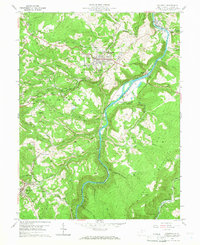
1960 Map of Kingwood
USGS Topo · Published 1966About this map
The Cheat River carves a deep path through the center of this terrain, anchoring a landscape defined by the heavy extraction industries of the mid-twentieth century. Near the county seat of Kingwood, the map reveals a dense network of Strip Mines and quarries that dominate the ridges of the Briery Mountains. This industrial activity is tightly integrated with the transportation infrastructure of the Baltimore and Ohio and W Va Northern railroads, which snake along the riverbanks and through narrow gaps to service settlements like Albright and Borgman.
Find a feature on this map
50 named features on this map. Tap any name to fly to it.
Don’t see what you’re looking for? This feature index may not catch every label — zoom into the map to look around manually.
Map Details
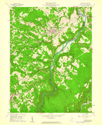
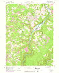
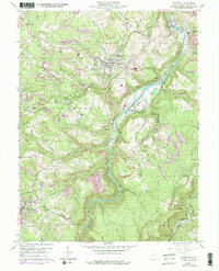
Editions of this 1960 Kingwood Map
4 editions found
Other maps of this area

1886 · St. George
USGS Topo · 1:125,000

1891 · St. George
USGS Topo · 1:125,000

1902 · Morgantown
USGS Topo · 1:62,500

1904 · Bruceton
USGS Topo · 1:62,500

1907 · Thornton
USGS Topo · 1:62,500

1907 · Kingwood
USGS Topo · 1:62,500

1925 · Kingwood
USGS Topo · 1:62,500

1925 · Morgantown
USGS Topo · 1:62,500

1926 · Thornton
USGS Topo · 1:62,500

1926 · Bruceton
USGS Topo · 1:62,500