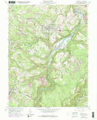
1960 Map of Kingwood
USGS Topo · Published 1998About this map
Cheat River carves a deep, winding path through this Preston County landscape, defining the industrial and social layout of the mid-20th century. The town of Kingwood serves as a central hub, while smaller settlements like Albright, Manown, and Borgman are connected by a web of transport including the Baltimore and Ohio and W Va Northern railroads. This era is marked by intensive land use, visible in the numerous strip mines and quarries that pockmark the hillsides between Morgan Run and Heather Run.
Find a feature on this map
52 named features on this map. Tap any name to fly to it.
Don’t see what you’re looking for? This feature index may not catch every label — zoom into the map to look around manually.
Map Details
Editions of this 1960 Kingwood Map
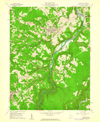
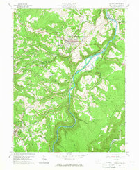
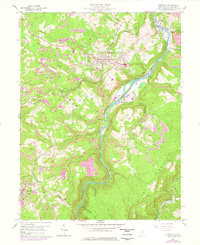
4 editions found
Other maps of this area

1886 · St. George
USGS Topo · 1:125,000

1891 · St. George
USGS Topo · 1:125,000

1902 · Morgantown
USGS Topo · 1:62,500

1904 · Bruceton
USGS Topo · 1:62,500

1907 · Thornton
USGS Topo · 1:62,500

1907 · Kingwood
USGS Topo · 1:62,500

1925 · Kingwood
USGS Topo · 1:62,500

1925 · Morgantown
USGS Topo · 1:62,500

1926 · Thornton
USGS Topo · 1:62,500

1926 · Bruceton
USGS Topo · 1:62,500