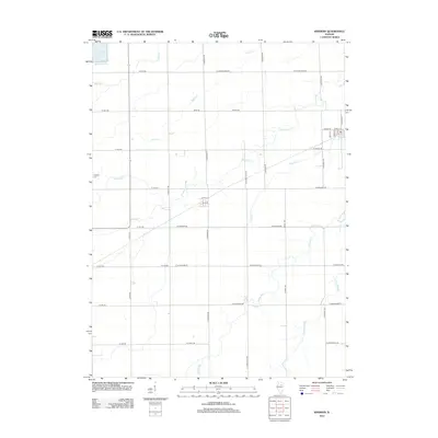
2012 Map of Kinsman
USGS Topo · Published 2012About this map
La Salle Lake and its surrounding watercourses dominate this Grundy County landscape, reflecting the modern management of drainage and resources in north-central Illinois. The terrain is intricately carved by several waterways, including Waupecan Cr, Thunder Cr, and the appropriately named Johnny Run. These features reveal the natural hydrology of the region as it integrates with a strict, rectilinear road grid of county lines and local routes such as W Grand Ridge Rd and S Kinsman Rd.
Find a feature on this map
42 named features on this map. Tap any name to fly to it.
Don’t see what you’re looking for? This feature index may not catch every label — zoom into the map to look around manually.
Map Details
Editions of this 2012 Kinsman Map
This is the sole edition of this map. No revisions or reprints were ever made.
Other maps of this area

1892 · Morris
USGS Topo · 1:62,500

1892 · Marseilles
USGS Topo · 1:62,500

1916 · Marseilles
USGS Topo · 1:62,500

1918 · Morris
USGS Topo · 1:62,500

1940 · Marseilles
USGS Topo · 1:62,500

1948 · Dwight
USGS Topo · 1:62,500

1950 · Dwight
USGS Topo · 1:62,500

1953 · Morris
USGS Topo · 1:24,000
1954 · Morris
USGS Topo · 1:62,500

1958 · Odell
USGS Topo · 1:62,500