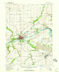
1954 Map of Morris
USGS Topo · Published 1960About this map
Morris serves as the industrial and civic heart of this mid-century Grundy County landscape, situated at the junction of the Illinois River and the historic Illinois and Michigan Canal. The map reveals a region defined by heavy extraction and transport, particularly in the southern reaches where Coal City, Carbon Hill, and Diamond are surrounded by extensive Strip Mine operations and Mine Dumps. This mining activity contrasts with the agricultural character of northern settlements like Lisbon and Central.
Find a feature on this map
89 named features on this map. Tap any name to fly to it.
Don’t see what you’re looking for? This feature index may not catch every label — zoom into the map to look around manually.
Map Details
Editions of this 1954 Morris Map
2 editions found
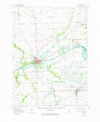
Other maps of this area

1892 · Morris
USGS Topo · 1:62,500

1892 · Marseilles
USGS Topo · 1:62,500

1892 · Joliet
USGS Topo · 1:62,500

1892 · Wilmington
USGS Topo · 1:62,500

1916 · Marseilles
USGS Topo · 1:62,500

1918 · Wilmington
USGS Topo · 1:62,500

1918 · Morris
USGS Topo · 1:62,500

1923 · Joliet
USGS Topo · 1:62,500

1923 · Herscher
USGS Topo · 1:62,500

1925 · Yorkville
USGS Topo · 1:62,500