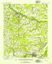
1914 Map of Kinston
USGS Topo · Published 1954About this map
Kinston sits at the southern edge of this landscape, its grid organized against the Neuse River while a dense network of schools and churches radiates across the coastal plain. Surveyed in 1914, the map reveals a rural economy shaped by waterways like Contentnea Creek and the marshy expanses of Beargarden Pocoson. The settlement at Snow Hill anchors the northern reaches, connected to the surrounding countryside by the East Carolina and Norfolk Southern railroads.
Find a feature on this map
88 named features on this map. Tap any name to fly to it.
Don’t see what you’re looking for? This feature index may not catch every label — zoom into the map to look around manually.
Map Details
Editions of this 1914 Kinston Map
3 editions found
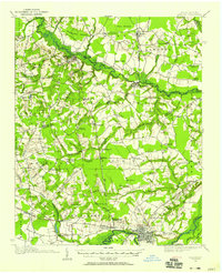
Other maps of this area

1902 · Ayden
USGS Topo · 1:62,500

1903 · Winterville
USGS Topo · 1:62,500

1903 · Trent River
USGS Topo · 1:62,500

1904 · Ayden
USGS Topo · 1:62,500

1904 · Trent River
USGS Topo · 1:62,500

1904 · Falkland
USGS Topo · 1:62,500

1904 · Wilson
USGS Topo · 1:62,500

1905 · Winterville
USGS Topo · 1:62,500

1914 · Kinston
USGS Topo · 1:48,000

1916 · Kinston
USGS Topo · 1:62,500