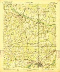
1916 Map of Kinston
USGS Topo · Published 1916About this map
Snow Hill sits at a strategic crossing of Contentnea Creek, serving as a focal point for this agrarian landscape in eastern North Carolina. The map reveals a dense network of local landmarks, from Jerusalem Church to dozens of family-named schools like Bright School and Dailey School. The region's watery geography is defined by broad swamps and pocosons, including Beargarden Pocoson and Rices Pocoson, which likely influenced the winding paths of roads like Horsepen Rd.
Find a feature on this map
98 named features on this map. Tap any name to fly to it.
Don’t see what you’re looking for? This feature index may not catch every label — zoom into the map to look around manually.
Map Details
Editions of this 1916 Kinston Map
3 editions found
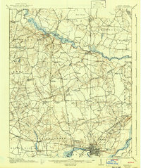
Other maps of this area

1902 · Ayden
USGS Topo · 1:62,500

1903 · Winterville
USGS Topo · 1:62,500

1903 · Trent River
USGS Topo · 1:62,500

1904 · Ayden
USGS Topo · 1:62,500

1904 · Trent River
USGS Topo · 1:62,500

1904 · Falkland
USGS Topo · 1:62,500

1904 · Wilson
USGS Topo · 1:62,500

1905 · Winterville
USGS Topo · 1:62,500

1914 · Kinston
USGS Topo · 1:48,000

1916 · Kinston
USGS Topo · 1:62,500