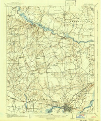
1916 Map of Kinston
USGS Topo · Published 1942About this map
Kinston serves as the primary hub of this eastern North Carolina landscape, where the Neuse River and a dense network of early 20th-century railroads converged. The Kinston Carolina, Norfolk Southern, and Atlantic Coast Line provide clear evidence of the region’s timber and agricultural logistics during the mid-1910s. North of the river, the landscape is defined by the winding Contentnea Creek and numerous wetlands such as Rices Pocoson and Beargarden Swamp. Numerous small rural schoolhouses and churches, including Grimsley Church and Jericho School, are scattered across the tobacco-growing hinterlands. Of particular historical interest is the presence of the State School for Feeble Minded on the western edge of Kinston, documenting the era's institutional history. The map also captures several rural crossroads and sidings like Suggs Siding and Mewborns Crossroads that once anchored these agrarian communities.
Find a feature on this map
94 named features on this map. Tap any name to fly to it.
Don’t see what you’re looking for? This feature index may not catch every label — zoom into the map to look around manually.
Map Details
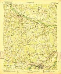
Editions of this 1916 Kinston Map
3 editions found
Other maps of this area

1902 · Ayden
USGS Topo · 1:62,500

1903 · Winterville
USGS Topo · 1:62,500

1903 · Trent River
USGS Topo · 1:62,500

1904 · Ayden
USGS Topo · 1:62,500

1904 · Trent River
USGS Topo · 1:62,500

1904 · Falkland
USGS Topo · 1:62,500

1904 · Wilson
USGS Topo · 1:62,500

1905 · Winterville
USGS Topo · 1:62,500

1914 · Kinston
USGS Topo · 1:48,000

1916 · Kinston
USGS Topo · 1:62,500