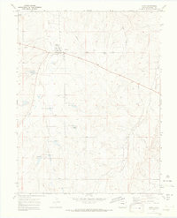
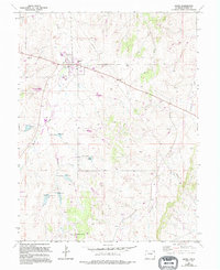
1970 Map of Kiowa
USGS Topo · Published 1973About this map
Kiowa serves as the central hub of this 1970s landscape, positioned as the Elbert County seat amidst a network of drainage basins. The town's community structure is anchored by the County Fairground and a local Park, reflecting its role as a regional gathering place for the surrounding agricultural community. The terrain is defined by the north-flowing waters of Kiowa Creek, Wolf Creek, and Gopher Creek, which carve distinct patterns across the plains. These watercourses, along with Comanche Creek to the east, dictate the layout of rural roads and property lines. A solitary Kiowa Radio Tower stands out as a modern landmark in this largely open landscape, while numerous labels for Well and Spring locations across the quadrangle highlight the critical importance of water management in this high plains environment.
Find a feature on this map
11 named features on this map. Tap any name to fly to it.
Don’t see what you’re looking for? This feature index may not catch every label — zoom into the map to look around manually.
Map Details
Editions of this 1970 Kiowa Map
5 editions found
Other maps of this area

1894 · Castle Rock
USGS Topo · 1:125,000

1913 · Castle Rock
USGS Topo · 1:125,000

1939 · Elizabeth
USGS Topo · 1:62,500

1940 · Elbert
USGS Topo · 1:62,500

1944 · Elbert
USGS Topo · 1:62,500

1945 · Elizabeth
USGS Topo · 1:62,500

1953 · Denver
USGS Topo · 1:250,000

1957 · Denver
USGS Topo · 1:250,000

1958 · Denver
USGS Topo · 1:250,000

1960 · Denver
USGS Topo · 1:250,000