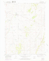
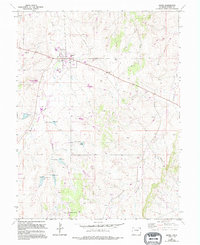
1970 Map of Kiowa
USGS Topo · Published 1979About this map
Kiowa serves as the focal point of this Colorado high plains landscape, situated at the junction where state route 86 crosses the drainage of Kiowa Creek. The settlement pattern reflects its role as a regional center, dominated by the County Fairground on the northern edge of town and a local Park near the central residential blocks. This 1970s record captures the area's agricultural and utility infrastructure, including a prominent Pipeline cutting across the northeastern ranchlands and the Kiowa Radio Tower positioned on a high point above the creek valley.
Find a feature on this map
13 named features on this map. Tap any name to fly to it.
Don’t see what you’re looking for? This feature index may not catch every label — zoom into the map to look around manually.
Map Details
Editions of this 1970 Kiowa Map
5 editions found
Other maps of this area

1894 · Castle Rock
USGS Topo · 1:125,000

1913 · Castle Rock
USGS Topo · 1:125,000

1939 · Elizabeth
USGS Topo · 1:62,500

1940 · Elbert
USGS Topo · 1:62,500

1944 · Elbert
USGS Topo · 1:62,500

1945 · Elizabeth
USGS Topo · 1:62,500

1953 · Denver
USGS Topo · 1:250,000

1957 · Denver
USGS Topo · 1:250,000

1958 · Denver
USGS Topo · 1:250,000

1960 · Denver
USGS Topo · 1:250,000