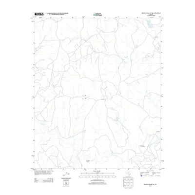
2012 Map of Kiowa Peak NE
USGS Topo · Published 2012About this map
Katz Oil Field occupies the southeastern reaches of this landscape, marking a site of industrial activity amidst the drainage basins of West Texas. The terrain is defined by the winding course of the Brazos River as it enters from the south, joined by the persistent flows of N Croton Cr and Wedington Cr. Further north, Smelter Canyon and Gyp Cr carve through the earth, revealing a land shaped by geological erosion and ranching interests. Water management in this arid environment is evident through several named bodies, including McElroy Lake and Arnold Ranch Lake, which serve as vital landmarks in a territory navigated by a network of county roads like Co RD 352 and C R 235. The map illustrates the specific intersection of natural waterways and modern energy extraction near the turn of the 21st century.
Find a feature on this map
15 named features on this map. Tap any name to fly to it.
Don’t see what you’re looking for? This feature index may not catch every label — zoom into the map to look around manually.
Map Details
Editions of this 2012 Kiowa Peak NE Map
This is the sole edition of this map. No revisions or reprints were ever made.
Other maps of this area

1954 · Lubbock
USGS Topo · 1:250,000

1954 · Wichita Falls
USGS Topo · 1:250,000

1958 · Wichita Falls
USGS Topo · 1:250,000

1962 · Kiowa Peak
USGS Topo · 1:24,000

1965 · Jud
USGS Topo · 1:24,000

1967 · Cedar Mountain
USGS Topo · 1:24,000

1967 · Dark Canyon
USGS Topo · 1:24,000

1967 · Knox City NW
USGS Topo · 1:24,000

1967 · Kiowa Peak NW
USGS Topo · 1:24,000

1967 · Kiowa Peak NE
USGS Topo · 1:24,000