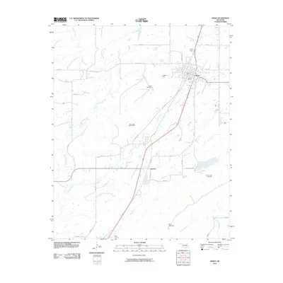
2010 Map of Kiowa
USGS Topo · Published 2010About this map
Kiowa serves as the primary population center on this topographic study, situated along the corridor of Old Hwy 69 and a major rail line. The landscape is defined by the drainage systems of North Boggy Creek and its tributaries, including Fivemile Creek and Buck Creek. Topographic features such as Kiowa Hill and Pine Mountain provide significant relief in the southern and central portions of the quadrangle.
Find a feature on this map
40 named features on this map. Tap any name to fly to it.
Don’t see what you’re looking for? This feature index may not catch every label — zoom into the map to look around manually.
Map Details
Editions of this 2010 Kiowa Map
This is the sole edition of this map. No revisions or reprints were ever made.
Other maps of this area

1896 · Coalgate
USGS Topo · 1:125,000

1898 · McAlester
USGS Topo · 1:125,000

1899 · Coalgate
USGS Topo · 1:125,000

1900 · Coalgate
USGS Topo · 1:125,000

1909 · Mc Alester
USGS Topo · 1:125,000

1950 · Mcalester
USGS Topo · 1:250,000

1957 · Coalgate SE
USGS Topo · 1:24,000

1957 · Limestone Gap
USGS Topo · 1:24,000

1957 · Ardmore
USGS Topo · 1:250,000

1962 · McAlester
USGS Topo · 1:250,000