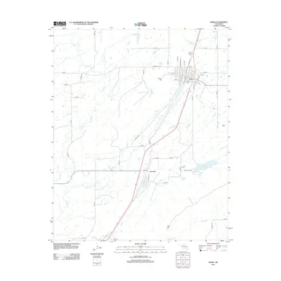
2012 Map of Kiowa
USGS Topo · Published 2012About this map
Kiowa and its surrounding Pittsburg County landscape are defined by a network of drainage basins and local reservoirs in the early 21st century. The town is situated on a grid including Washington Ave and Van Buren Ave, adjacent to the prominent Kiowa Hill. Local history is anchored at the Oak Hill Cem on the town's edge, while the rural terrain to the south includes Pine Mtn and the small settlement of Reynolds.
Find a feature on this map
47 named features on this map. Tap any name to fly to it.
Don’t see what you’re looking for? This feature index may not catch every label — zoom into the map to look around manually.
Map Details
Editions of this 2012 Kiowa Map
This is the sole edition of this map. No revisions or reprints were ever made.
Other maps of this area

1896 · Coalgate
USGS Topo · 1:125,000

1898 · McAlester
USGS Topo · 1:125,000

1899 · Coalgate
USGS Topo · 1:125,000

1900 · Coalgate
USGS Topo · 1:125,000

1909 · Mc Alester
USGS Topo · 1:125,000

1950 · Mcalester
USGS Topo · 1:250,000

1957 · Coalgate SE
USGS Topo · 1:24,000

1957 · Limestone Gap
USGS Topo · 1:24,000

1957 · Ardmore
USGS Topo · 1:250,000

1962 · McAlester
USGS Topo · 1:250,000