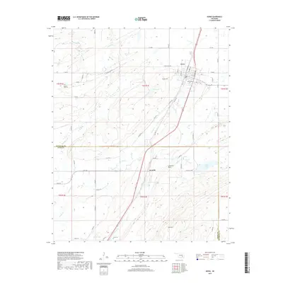
2019 Map of Kiowa
USGS Topo · Published 2019About this map
Kiowa serves as the primary hub on this Pittsburg County landscape, situated along the corridor of Old Hwy 69 and modern transport routes. The town is marked by a grid of streets including Van Buren Ave and Garfield Ave, while nearby landmarks like Kiowa Hill and the waters of Kiowa Lake define the local topography. Further south, the settlement of Reynolds sits near the base of Limestone Ridge, indicating the long-standing community footprint in this part of Oklahoma.
Find a feature on this map
56 named features on this map. Tap any name to fly to it.
Don’t see what you’re looking for? This feature index may not catch every label — zoom into the map to look around manually.
Map Details
Editions of this 2019 Kiowa Map
This is the sole edition of this map. No revisions or reprints were ever made.
Other maps of this area

1896 · Coalgate
USGS Topo · 1:125,000

1898 · McAlester
USGS Topo · 1:125,000

1899 · Coalgate
USGS Topo · 1:125,000

1900 · Coalgate
USGS Topo · 1:125,000

1909 · Mc Alester
USGS Topo · 1:125,000

1950 · Mcalester
USGS Topo · 1:250,000

1957 · Coalgate SE
USGS Topo · 1:24,000

1957 · Limestone Gap
USGS Topo · 1:24,000

1957 · Ardmore
USGS Topo · 1:250,000

1962 · McAlester
USGS Topo · 1:250,000