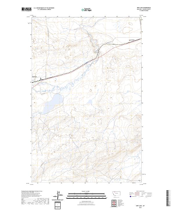
2024 Map of Kipp Lake
USGS Topo · Published 2024About this map
Willow Creek meanders through the central northern plains of this Montana landscape, defining the local drainage system alongside its tributary, Flatiron Creek. The terrain is characterized by the expansive glacial topography of the high plains, where subtle elevation changes dictate the flow of water across the open range. The settlement of Blackfoot and the junction at Meriwether serve as primary points of orientation, connected by a network of rural routes including the Blackfoot Cutoff and Labreches Rd. This modern survey reveals the persistent structure of township and range surveying, with boundaries for t33n r10w, t33n r9w, t32n r10w, and t32n r9w overlying a landscape where the natural hydrology of the creek beds remains the most prominent geographic feature. The proximity to Kipp Lake Rd suggests the local importance of the nearby namesake water body just south of these grazing lands.
Find a feature on this map
12 named features on this map. Tap any name to fly to it.
Don’t see what you’re looking for? This feature index may not catch every label — zoom into the map to look around manually.
Map Details
Editions of this 2024 Kipp Lake Map
This is the sole edition of this map. No revisions or reprints were ever made.
Other maps of this area

1911 · Blackfoot
USGS Topo · 1:125,000

1914 · Heart Butte
USGS Topo · 1:125,000

1918 · Heart Butte
USGS Topo · 1:125,000

1960 · Cut Bank
USGS Topo · 1:250,000

1963 · Cut Bank
USGS Topo · 1:250,000

1964 · Cut Bank
USGS Topo · 1:250,000
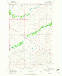
1968 · Piegan
USGS Topo · 1:24,000

1968 · Rimrock Butte
USGS Topo · 1:24,000

1968 · White Man Coulee
USGS Topo · 1:24,000
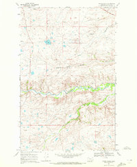
1968 · Magee Ranch
USGS Topo · 1:24,000