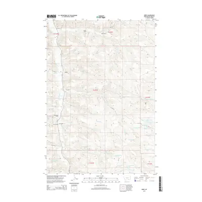
2014 Map of Kirby
USGS Topo · Published 2014About this map
Kirby occupies a central position within this Montana landscape, situated along the banks of Rosebud Cr. This area of Big Horn County is defined by its dramatic coulees and gulches that channel seasonal waters toward the main creek. Notable terrain features like Schoolhouse Coulee, Smith Coulee, and Long Coulee suggest a history of localized naming and perhaps early rural school sites. The topography rises toward the east to Horn Mtn, while the creek system is fed by numerous named springs such as the 06S39E23AAA01 Spring.
Find a feature on this map
48 named features on this map. Tap any name to fly to it.
Don’t see what you’re looking for? This feature index may not catch every label — zoom into the map to look around manually.
Map Details
Editions of this 2014 Kirby Map
This is the sole edition of this map. No revisions or reprints were ever made.
Other maps of this area

1894 · Rosebud
USGS Topo · 1:125,000

1901 · Rosebud
USGS Topo · 1:125,000

1954 · Hardin
USGS Topo · 1:250,000

1957 · Hardin
USGS Topo · 1:250,000

1958 · Hardin
USGS Topo · 1:250,000

1958 · Bull Creek Lookout
USGS Topo · 1:24,000

1958 · Birdseye Spring
USGS Topo · 1:24,000

1967 · Tongue River Dam
USGS Topo · 1:24,000

1967 · Kirby
USGS Topo · 1:24,000

1967 · Bar V Ranch NE
USGS Topo · 1:24,000