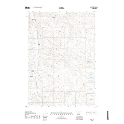
2020 Map of Kirby
USGS Topo · Published 2020About this map
Kirby sits at the intersection of Co Rd 314 and Spring Ck Rd, serving as a central point in this stretch of Big Horn County. The landscape is defined by a dense network of drainages and coulees that feed into Rosebud Cr, revealing the complex topography of the Busby District. Named features like Schoolhouse Coulee, Smith Coulee, and Long Coulee suggest a history of local land use and naming conventions tied to early settlement patterns. Higher elevations are marked by Horn Mtn in the east, while the southern reaches are dissected by Indian Cr and N Fork Fourmile Cr. The map also identifies numerous springs, such as the 07S39E05BDCD01 Spring, which were vital for livestock and homesteading in this arid environment, alongside various forks of Dale Cr and Dry Cr.
Find a feature on this map
43 named features on this map. Tap any name to fly to it.
Don’t see what you’re looking for? This feature index may not catch every label — zoom into the map to look around manually.
Map Details
Editions of this 2020 Kirby Map
This is the sole edition of this map. No revisions or reprints were ever made.
Other maps of this area

1894 · Rosebud
USGS Topo · 1:125,000

1901 · Rosebud
USGS Topo · 1:125,000

1954 · Hardin
USGS Topo · 1:250,000

1957 · Hardin
USGS Topo · 1:250,000

1958 · Hardin
USGS Topo · 1:250,000

1958 · Bull Creek Lookout
USGS Topo · 1:24,000

1958 · Birdseye Spring
USGS Topo · 1:24,000

1967 · Tongue River Dam
USGS Topo · 1:24,000

1967 · Kirby
USGS Topo · 1:24,000

1967 · Bar V Ranch NE
USGS Topo · 1:24,000