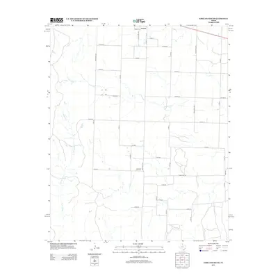
2012 Map of Kirkland South
USGS Topo · Published 2012About this map
Tennessee Valley Cem stands as a quiet landmark in this corner of Cottle County, situated south of the small community of Kirkland. The landscape is defined by the winding paths of intermittent waterways, specifically S Groesbeck Cr and the uniquely named Raggedy Bill Cr, which cut through the agricultural grid. This 2012 survey illustrates the modern ranching and farming layout of the region, where a dense network of county roads like Co Road BB and Co Road DD connects isolated homesteads and grazing lands. The transition from local lanes to state-maintained routes such as Ranch Road 1033 and Ranch Road 104 highlights the importance of ground transport in this portion of the Texas Panhandle, providing a clear record of rural infrastructure and burial sites for local genealogical research.
Find a feature on this map
37 named features on this map. Tap any name to fly to it.
Don’t see what you’re looking for? This feature index may not catch every label — zoom into the map to look around manually.
Map Details
Editions of this 2012 Kirkland South Map
This is the sole edition of this map. No revisions or reprints were ever made.
Other maps of this area

1927 · Quanah 3-b
USGS Topo · 1:48,000

1932 · Vivian
USGS Topo · 1:62,500

1954 · Plainview
USGS Topo · 1:250,000

1955 · Lawton
USGS Topo · 1:250,000

1958 · Plainview
USGS Topo · 1:250,000

1960 · Goodlett
USGS Topo · 1:62,500

1960 · Teacup Mountain
USGS Topo · 1:62,500

1967 · Buckle L Ranch
USGS Topo · 1:24,000

1967 · Kirkland South
USGS Topo · 1:24,000

1967 · Kirkland North
USGS Topo · 1:24,000