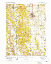
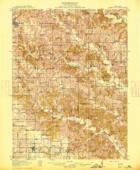
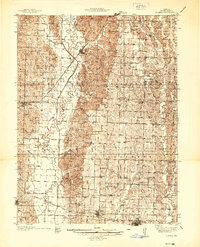
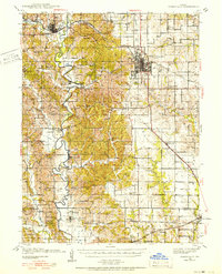
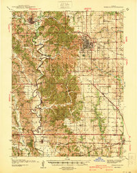
1938 Map of Kirksville
USGS Topo · Published 1977About this map
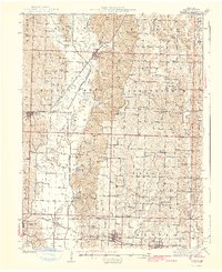
The Chariton River meanders through the heart of Adair County, defining a landscape of rolling hills and rural school districts in the late 1930s. This survey captures a dense network of country education and faith, featuring dozens of localized institutions such as Lone Star Sch, Radical Ridge Sch, and Union Temple Ch. The city of Kirksville stands as the primary regional hub, with its grid-style streets and the Kirksville Pumping Station marking its growth.
Find a feature on this map
70 named features on this map. Tap any name to fly to it.
Don’t see what you’re looking for? This feature index may not catch every label — zoom into the map to look around manually.
Map Details
Editions of this 1938 Kirksville Map
2 editions found
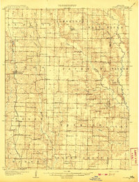
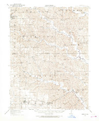
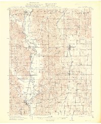
Other maps of this area

1903 · Edina
USGS Topo · 1:125,000
1908 · Atlanta
USGS Topo · 1:62,500

1911 · Queen City
USGS Topo · 1:62,500
1912 · Green City
USGS Topo · 1:62,500
1913 · Queen City
USGS Topo · 1:62,500
1914 · Green City
USGS Topo · 1:62,500
1937 · Elmer
USGS Topo · 1:48,000
1938 · Kirksville
USGS Topo · 1:62,500
1940 · Kirksville
USGS Topo · 1:62,500
1942 · Elmer
USGS Topo · 1:62,500