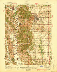
1940 Map of Kirksville
USGS Topo · Published 1940About this map
Kirksville stands as a central rail and highway hub on this 1940 survey, positioned where the Wabash and Chicago Burlington and Quincy railroads intersect. The surrounding countryside in Adair County is densely populated with small rural institutions, including a remarkable concentration of country schools such as Radical Ridge Sch, East Elm Grove Sch, and Illinois Bend Sch. These schoolhouses, spaced just a few miles apart, reflect the decentralized educational structure of the pre-consolidation era in northern Missouri.
Find a feature on this map
86 named features on this map. Tap any name to fly to it.
Don’t see what you’re looking for? This feature index may not catch every label — zoom into the map to look around manually.
Map Details
Editions of this 1940 Kirksville Map
This is the sole edition of this map. No revisions or reprints were ever made.
Other maps of this area
1903 · Edina
USGS Topo · 1:125,000
1908 · Atlanta
USGS Topo · 1:62,500
1911 · Queen City
USGS Topo · 1:62,500
1912 · Green City
USGS Topo · 1:62,500
1913 · Queen City
USGS Topo · 1:62,500
1914 · Green City
USGS Topo · 1:62,500
1937 · Elmer
USGS Topo · 1:48,000
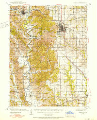
1938 · Kirksville
USGS Topo · 1:62,500
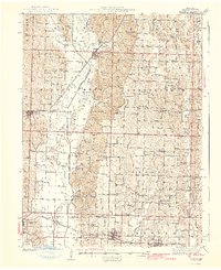
1942 · Elmer
USGS Topo · 1:62,500
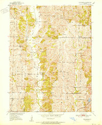
1951 · New Boston
USGS Topo · 1:24,000