Loading...
Loading map...2024 Map of Kirkville
USGS Topo · Published 2024About this map
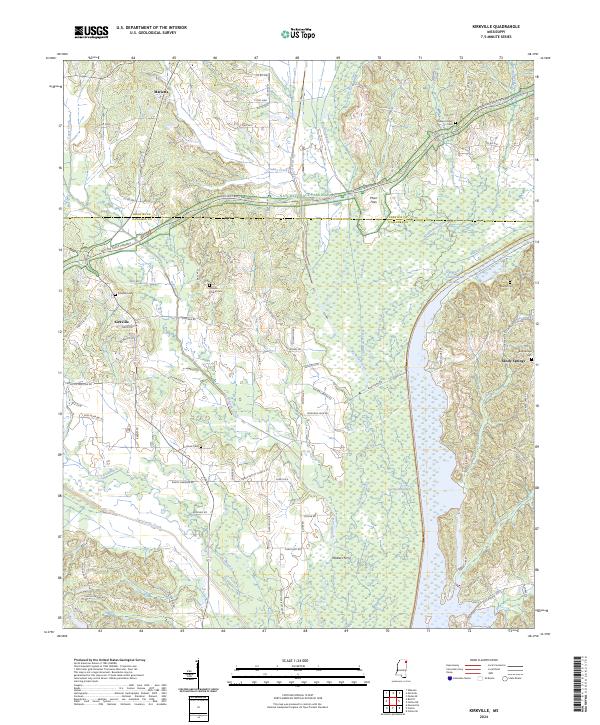
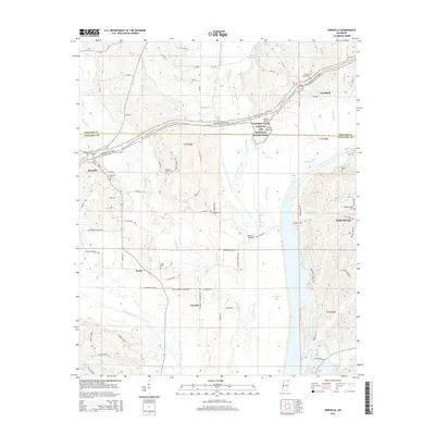
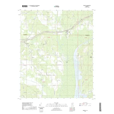
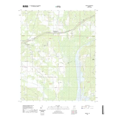
Kirkville and the surrounding borderlands of Itawamba and Prentiss counties are defined by the convergence of legacy travel routes and modern engineering. The Natchez Trace Parkway arcs across the northern landscape, passing through Pharr Flats and bridging numerous tributaries of the Tombigbee River. This contemporary survey highlights the massive scale of the Tennessee-Tombigbee Waterway, which dominates the eastern portion of the quadrangle as it parallels Mackeys Creek.
Find a feature on this map
84 named features on this map. Tap any name to fly to it.
Don’t see what you’re looking for? This feature index may not catch every label — zoom into the map to look around manually.
Map Details
Date Portrayed2024
Date Published2024
PublisherU.S. Geological Survey
Map TypeTopographic
Scale1:24,000
Physical Dimensions24 x 29 inches
Editions of this 2024 Kirkville Map
This is the sole edition of this map. No revisions or reprints were ever made.
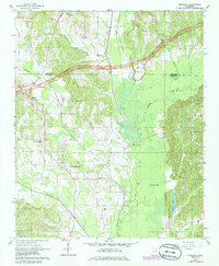
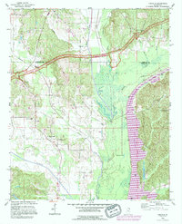
Historical Maps of Marietta Through Time
7 maps found
Featured Locations
Source Details
SourceU.S. Geological Survey
CopyrightPublic Domain