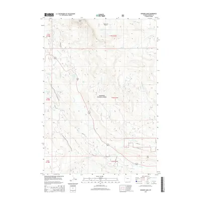
2015 Map of Kisinger Lakes
USGS Topo · Published 2015About this map
Shoshone National Forest defines this high-elevation landscape, where the Continental Divide National Scenic Trail winds through the western reaches of the quadrangle. The terrain is marked by dramatic geological formations like Pinnacle Buttes and Elk Ridge, which overlook a network of alpine water systems including Kisinger Lakes and the headwaters of the Wind River. A complex system of historical transit routes, such as the Morman Trl, Sheridan Trl, and Pelham Lake Trl, suggests a legacy of seasonal migration and exploration through these mountain passes. Small water features like Brooks Lake Creek Falls and Basin Creek Meadows indicate a diverse riparian environment amidst the higher peaks, while secondary roads such as Brooks Lake Rd provide modern access to this preserved wilderness area.
Find a feature on this map
33 named features on this map. Tap any name to fly to it.
Don’t see what you’re looking for? This feature index may not catch every label — zoom into the map to look around manually.
Map Details
Editions of this 2015 Kisinger Lakes Map
This is the sole edition of this map. No revisions or reprints were ever made.
Other maps of this area

1902 · Mt Leidy
USGS Topo · 1:125,000

1905 · Younts Peak
USGS Topo · 1:125,000

1907 · Younts Peak
USGS Topo · 1:125,000

1955 · Driggs
USGS Topo · 1:250,000

1955 · Thermopolis
USGS Topo · 1:250,000

1956 · Esmond Park
USGS Topo · 1:24,000

1956 · Shoshone Pass
USGS Topo · 1:24,000

1956 · Warm Spring Mountain
USGS Topo · 1:24,000

1956 · Fish Lake
USGS Topo · 1:24,000

1956 · Kisinger Lakes
USGS Topo · 1:24,000