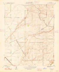
1948 Map of Kismet
USGS Topo · Published 1948About this map
The agricultural and transit corridor of Madera County takes center stage in this late 1940s survey, defined by the convergence of major rail lines and seasonal waterways. The industrial landscape is anchored by the Southern Pacific and the Atchison Topeka and Santa Fe railroads, which cut diagonally across the terrain toward small shipping points like Kismet and Notarb. These settlements, while modest, served as vital nodes for the region's ranching and early petroleum interests, evidenced by the presence of a mapped Oil Well and numerous Windmill sites used for water management.
Find a feature on this map
13 named features on this map. Tap any name to fly to it.
Don’t see what you’re looking for? This feature index may not catch every label — zoom into the map to look around manually.
Map Details
Editions of this 1948 Kismet Map
2 editions found
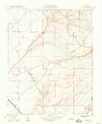
Other maps of this area

1912 · Mariposa
USGS Topo · 1:125,000

1916 · Berenda
USGS Topo · 1:31,680

1918 · Berenda
USGS Topo · 1:31,680

1918 · La Grand
USGS Topo · 1:31,680

1919 · Raynor Creek
USGS Topo · 1:31,680

1920 · Kismet
USGS Topo · 1:31,680

1920 · Bonita Ranch
USGS Topo · 1:31,680

1921 · Daulton
USGS Topo · 1:31,680

1921 · Bonita Ranch
USGS Topo · 1:31,680

1922 · Gregg
USGS Topo · 1:31,680