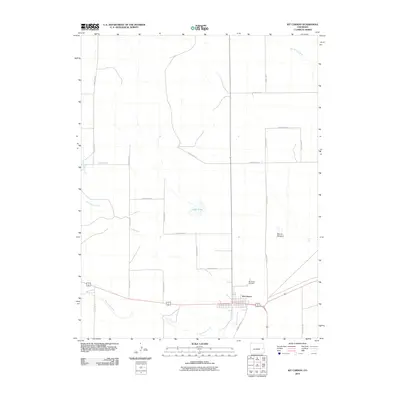
2010 Map of Kit Carson
USGS Topo · Published 2010About this map
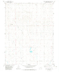
Kit Carson anchors the southern portion of this high plains landscape, situated at the intersection of major transportation routes and the winding path of Big Sandy Creek. The town's grid is clearly defined, with the Kit Carson Cemetery located just to the north, offering a specific point of interest for those researching local family history. The surrounding terrain is characterized by ephemeral watercourses such as Wild Horse Creek and Big Spring Creek, which cut through the open country typical of Cheyenne County.
Find a feature on this map
20 named features on this map. Tap any name to fly to it.
Don’t see what you’re looking for? This feature index may not catch every label — zoom into the map to look around manually.
Map Details
Editions of this 2010 Kit Carson Map
This is the sole edition of this map. No revisions or reprints were ever made.
Other maps of this area

1891 · Kit Carson
USGS Topo · 1:125,000

1893 · Kit Carson
USGS Topo · 1:125,000

1954 · Lamar
USGS Topo · 1:250,000

1958 · Lamar
USGS Topo · 1:250,000

1981 · Cheyenne Wells
USGS Topo · 1:100,000
1982 · Sorrento
USGS Topo · 1:24,000
1982 · Kit Carson
USGS Topo · 1:24,000

1982 · Kit Carson 4 NW
USGS Topo · 1:24,000
1982 · Arsenic Lake
USGS Topo · 1:24,000
1982 · Eureka Creek North
USGS Topo · 1:24,000