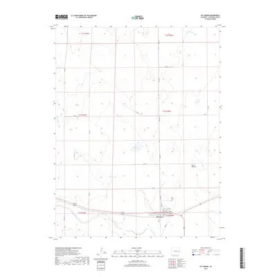
2019 Map of Kit Carson
USGS Topo · Published 2019About this map
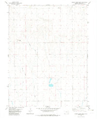
Kit Carson occupies the high plains of Cheyenne County, situated at a vital junction where the landscape is defined by its intermittent watercourses and the sweeping openness of the Colorado prairie. The town layout is clearly defined by a grid of named streets including Church St, Welton St, and Park St, reflecting its role as a regional hub. North of the main settlement, the Kit Carson Cem stands near the intersection of several county roads, serving as an important point for genealogical research in this sparsely populated area.
Find a feature on this map
29 named features on this map. Tap any name to fly to it.
Don’t see what you’re looking for? This feature index may not catch every label — zoom into the map to look around manually.
Map Details
Editions of this 2019 Kit Carson Map
This is the sole edition of this map. No revisions or reprints were ever made.
Other maps of this area

1891 · Kit Carson
USGS Topo · 1:125,000

1893 · Kit Carson
USGS Topo · 1:125,000

1954 · Lamar
USGS Topo · 1:250,000

1958 · Lamar
USGS Topo · 1:250,000

1981 · Cheyenne Wells
USGS Topo · 1:100,000
1982 · Sorrento
USGS Topo · 1:24,000
1982 · Kit Carson
USGS Topo · 1:24,000

1982 · Kit Carson 4 NW
USGS Topo · 1:24,000
1982 · Arsenic Lake
USGS Topo · 1:24,000
1982 · Eureka Creek North
USGS Topo · 1:24,000