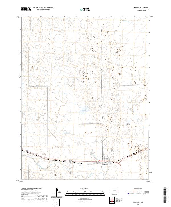
2022 Map of Kit Carson
USGS Topo · Published 2022About this map
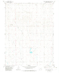
Kit Carson is situated at a strategic junction in eastern Colorado, where several major drainage systems converge. The town site is defined by its proximity to the Big Sandy Cr and the winding course of Wild Horse Cr. This 2022 survey captures the localized geography of the plains, including the notable depression of the Merritt Blowout and the seasonal catchment of Logie Lake. The street grid of the settlement is clearly delineated, featuring thoroughfares such as Welton St, Park St, and Church St. Local history and genealogy are anchored by the Kit Carson Cem located just north of the central residential area. The surrounding landscape is partitioned into townships, with drainage patterns from Big Spring Cr providing the primary relief against the vast, sectioned agricultural and ranching land.
Find a feature on this map
29 named features on this map. Tap any name to fly to it.
Don’t see what you’re looking for? This feature index may not catch every label — zoom into the map to look around manually.
Map Details
Editions of this 2022 Kit Carson Map
This is the sole edition of this map. No revisions or reprints were ever made.
Other maps of this area

1891 · Kit Carson
USGS Topo · 1:125,000

1893 · Kit Carson
USGS Topo · 1:125,000

1954 · Lamar
USGS Topo · 1:250,000

1958 · Lamar
USGS Topo · 1:250,000

1981 · Cheyenne Wells
USGS Topo · 1:100,000
1982 · Sorrento
USGS Topo · 1:24,000
1982 · Kit Carson
USGS Topo · 1:24,000

1982 · Kit Carson 4 NW
USGS Topo · 1:24,000
1982 · Arsenic Lake
USGS Topo · 1:24,000
1982 · Eureka Creek North
USGS Topo · 1:24,000