
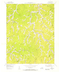
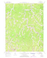
1954 Map of Kite
USGS Topo · Published 1968About this map
Beaver Creek and its many narrow tributaries define the landscape of this eastern Kentucky coal region, captured in detail during the mid-1950s. The settlement pattern follows the hollows, with numerous small schools like Mouth of Hollybush Sch and Bill Dees Branch Sch serving isolated communities. Evidence of the region's industrial base is present through the Chesapeake and Ohio railroad line and operations such as the Strap Mine. The map reveals a high density of rural institutions, including Providence Ch and the Kite Sch, reflecting the self-contained nature of mountain life before modern consolidation. Grounded in data from local coal company maps and aerial photography, this survey provides a precise look at the overlapping boundaries of Knott, Floyd, and Letcher counties near settlements like Kite and Pippa Passes.
Find a feature on this map
86 named features on this map. Tap any name to fly to it.
Don’t see what you’re looking for? This feature index may not catch every label — zoom into the map to look around manually.
Map Details
Editions of this 1954 Kite Map
3 editions found
Other maps of this area

1890 · Whitesburg
USGS Topo · 1:125,000

1892 · Whitesburg
USGS Topo · 1:125,000

1912 · Pound
USGS Topo · 1:48,000

1912 · Hindman
USGS Topo · 1:48,000

1913 · Oven Fork
USGS Topo · 1:48,000

1914 · Pound
USGS Topo · 1:62,500

1914 · Vergie
USGS Topo · 1:48,000

1915 · Hindman
USGS Topo · 1:62,500

1915 · Whitesburg
USGS Topo · 1:62,500

1916 · Pikeville
USGS Topo · 1:62,500