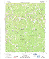
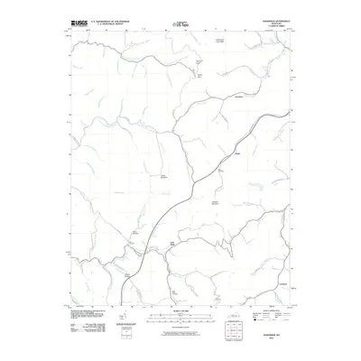
1954 Map of Kite
USGS Topo · Published 1978About this map
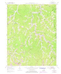
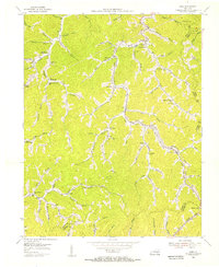
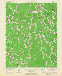
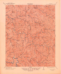
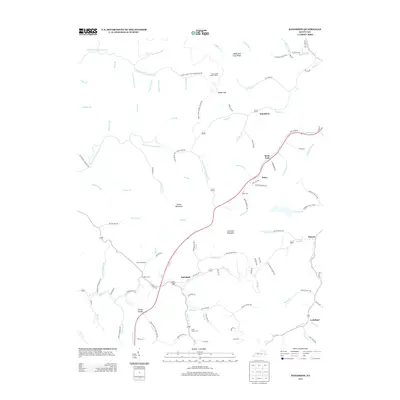
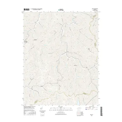
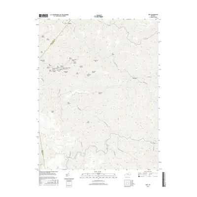
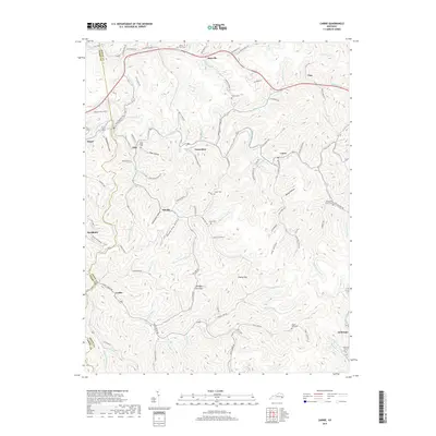
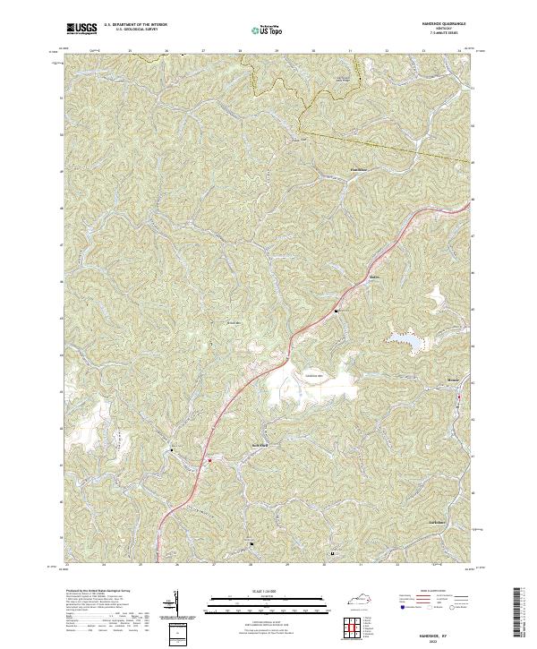
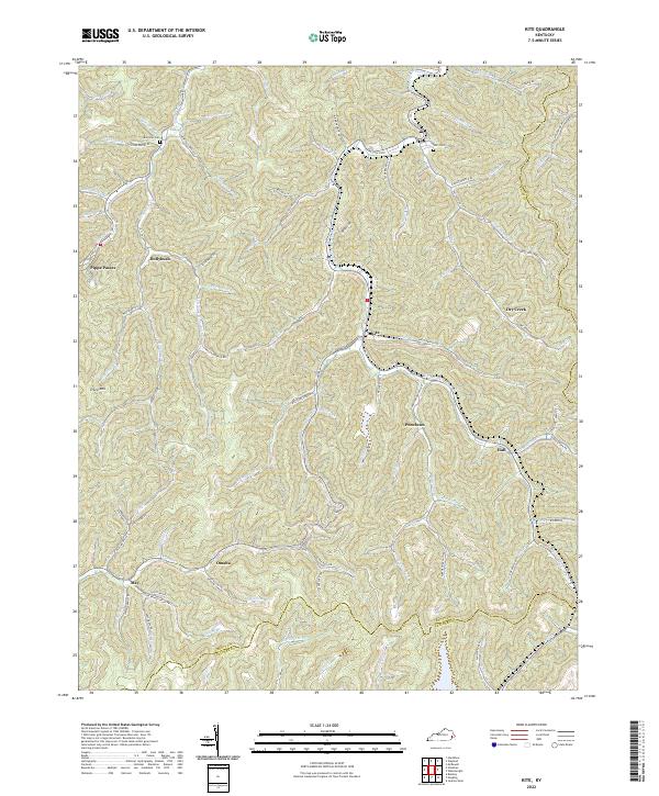
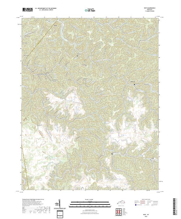
Beaver Creek and its many winding forks carve through the landscape of eastern Kentucky, defining a network of hollows that dictated the settlement patterns of the mid-20th century. This area, spanning the borders of Knott, Floyd, and Letcher counties, shows a high density of rural schoolhouses and neighborhood churches established along the creek banks. Places like Kite, Pippa Passes, and Topmost are linked by a complex web of mountain roads and the Chesapeake and Ohio railroad line.
Find a feature on this map
84 named features on this map. Tap any name to fly to it.
Don’t see what you’re looking for? This feature index may not catch every label — zoom into the map to look around manually.
Map Details
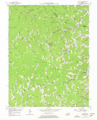
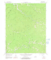
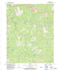
Editions of this 1954 Kite Map
3 editions found
Historical Maps of Pippa Passes Through Time
29 maps found
1914 Troublesome
Knott County, KY
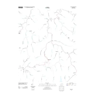
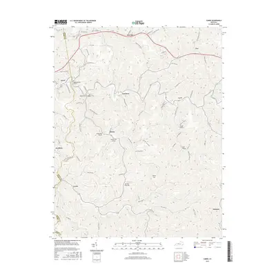
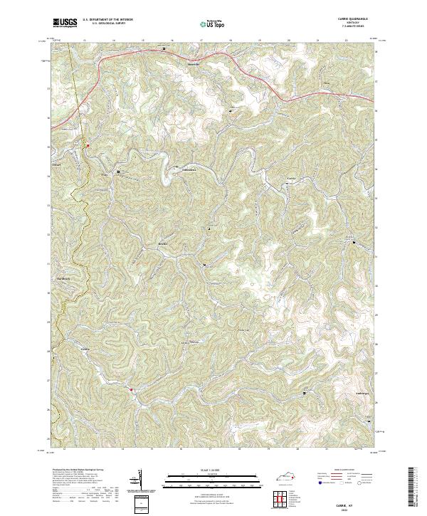
1954 Carrie
Knott County, KY
1954 Handshoe
Knott County, KY
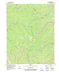
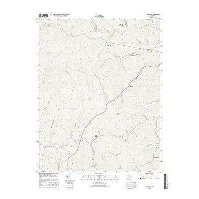
1954 Kite
Knott County, KY
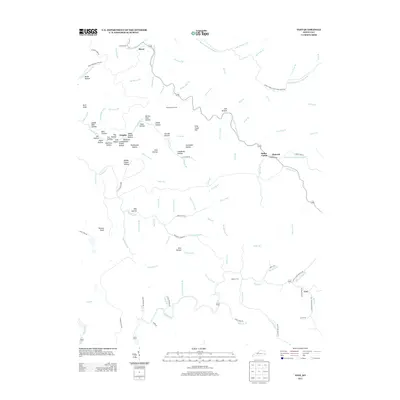
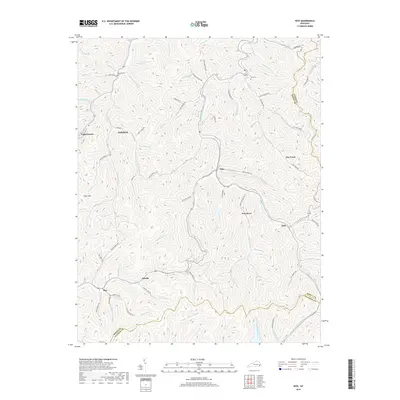
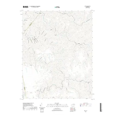
1954 Vest
Knott County, KY
1992 Carrie
Knott County, KY
1992 Handshoe
Knott County, KY
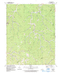
1992 Kite
Knott County, KY
1992 Vest
Knott County, KY
2010 Carrie
Knott County, KY
2010 Handshoe
Knott County, KY
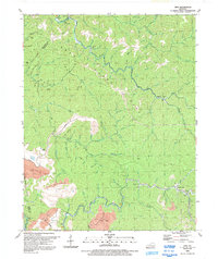
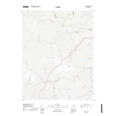
2010 Kite
Knott County, KY
2010 Vest
Knott County, KY
2013 Carrie
Knott County, KY
2013 Handshoe
Knott County, KY
2013 Kite
Knott County, KY
2013 Vest
Knott County, KY
2016 Carrie
Knott County, KY
2016 Handshoe
Knott County, KY
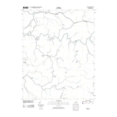
2016 Kite
Knott County, KY
2016 Vest
Knott County, KY
2019 Carrie
Knott County, KY
2019 Handshoe
Knott County, KY
2019 Kite
Knott County, KY
2019 Vest
Knott County, KY
2022 Carrie
Knott County, KY
2022 Handshoe
Knott County, KY
2022 Kite
Knott County, KY
2022 Vest
Knott County, KY