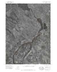
1975 Map of Klamath Falls NE
USGS Topo · Published 1979About this map
Upper Klamath Lake and the Klamath River dominate this 1975 aerial orthophoto, revealing the hydraulic and industrial character of the landscape just south of Klamath Falls. Unlike a traditional topographic map, this imagery-based study provides a direct view of the mid-1970s land use, capturing the complex network of agricultural fields, irrigation channels, and industrial infrastructure that follows the river's path. The settlement at Midland is visible in the southern portion, situated amidst the reclaimed marshlands that define the region's agricultural economy.
Find a feature on this map
5 named features on this map. Tap any name to fly to it.
Don’t see what you’re looking for? This feature index may not catch every label — zoom into the map to look around manually.
Map Details
Editions of this 1975 Klamath Falls NE Map
2 editions found
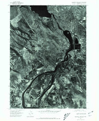
Other maps of this area

1889 · Klamath
USGS Topo · 1:250,000

1894 · Klamath
USGS Topo · 1:250,000

1955 · Klamath Falls
USGS Topo · 1:250,000

1957 · Merrill
USGS Topo · 1:62,500

1957 · Swan Lake
USGS Topo · 1:62,500

1957 · Klamath Falls
USGS Topo · 1:62,500

1957 · Modoc Point
USGS Topo · 1:62,500

1958 · Klamath Falls
USGS Topo · 1:250,000

1975 · Merrill NW
USGS Topo · 1:24,000
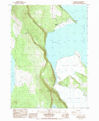
1985 · Howard Bay
USGS Topo · 1:24,000