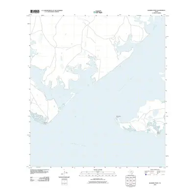
2010 Map of Kleberg Point
USGS Topo · Published 2010About this map
Baffin Bay and the interconnected waters of the Texas Gulf Coast define this landscape at the turn of the 21st century. The map centers on the confluence of several significant coastal bodies, where the wide expanse of the bay meets Alazan Bay and the narrow passage of Cayo Del Infiernillo. This environment is characterized by its distinct coastal points and peninsulas that reach into the shallow, salty waters, serving as critical landmarks for local navigation and coastal history.
Find a feature on this map
6 named features on this map. Tap any name to fly to it.
Don’t see what you’re looking for? This feature index may not catch every label — zoom into the map to look around manually.
Map Details
Editions of this 2010 Kleberg Point Map
This is the sole edition of this map. No revisions or reprints were ever made.
Other maps of this area

1928 · Sarita
USGS Topo · 1:125,000

1950 · Corpus Christi
USGS Topo · 1:250,000

1951 · South Bird Island NW
USGS Topo · 1:24,000

1951 · Point Of Rocks
USGS Topo · 1:24,000

1951 · Kleberg Point
USGS Topo · 1:24,000

1951 · Riviera Beach NE
USGS Topo · 1:24,000

1951 · Sarita 4 NE
USGS Topo · 1:24,000

1951 · South Bird Island
USGS Topo · 1:62,500

1952 · Riviera Beach
USGS Topo · 1:24,000

1952 · La Parra Ranch
USGS Topo · 1:24,000