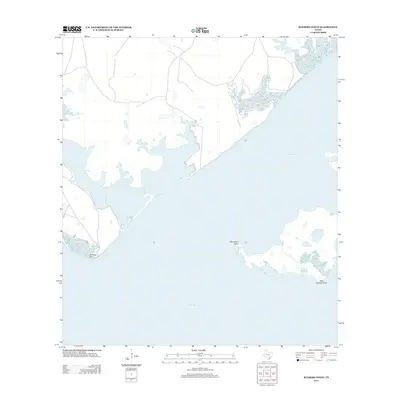
2013 Map of Kleberg Point
USGS Topo · Published 2013About this map
Baffin Bay and Alazan Bay dominate this coastal survey of Kleberg County, where the intricate shoreline of the Texas Gulf Coast is defined by shallow bay waters and low-lying points. The map details the convergence of these primary water bodies, separated by the prominent landform of Kleberg Point and its eastern counterpart, East Kleberg Point. The landscape is largely maritime, characterized by the narrow passage of Cayo del Infiernillo and the isolated reach of Starvation Point. This 2013 U.S. Geological Survey record provides an essential view of the hydrography and undeveloped coastal reaches before further modern changes, tracing the natural contours of the South Texas brush country shoreline where it meets the hypersaline waters of the Laguna Madre system.
Find a feature on this map
6 named features on this map. Tap any name to fly to it.
Don’t see what you’re looking for? This feature index may not catch every label — zoom into the map to look around manually.
Map Details
Editions of this 2013 Kleberg Point Map
This is the sole edition of this map. No revisions or reprints were ever made.
Other maps of this area

1928 · Sarita
USGS Topo · 1:125,000

1950 · Corpus Christi
USGS Topo · 1:250,000

1951 · South Bird Island NW
USGS Topo · 1:24,000

1951 · Point Of Rocks
USGS Topo · 1:24,000

1951 · Kleberg Point
USGS Topo · 1:24,000

1951 · Riviera Beach NE
USGS Topo · 1:24,000

1951 · Sarita 4 NE
USGS Topo · 1:24,000

1951 · South Bird Island
USGS Topo · 1:62,500

1952 · Riviera Beach
USGS Topo · 1:24,000

1952 · La Parra Ranch
USGS Topo · 1:24,000