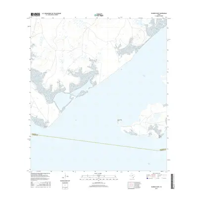
2016 Map of Kleberg Point
USGS Topo · Published 2016About this map
Baffin Bay and the interconnected waters of the Texas Gulf Coast define this low-lying coastal landscape south of Corpus Christi. The sheet illustrates the intricate transition from land to sea along the western reaches of Alazan Bay, where the shoreline is fragmented by numerous inlets and small peninsulas. Notable landforms including Kleberg Point and Starvation Point extend into the shallow bay waters, illustrating the subtle topography of this coastal environment. The boundary between Kleberg and Kenedy counties cuts across the southern waters of the bay, marking a jurisdictional division in an area otherwise dominated by salt marshes and tidal flats. The presence of Cayo del Infiernillo and East Kleberg Point highlights the various named geographic features that have historically aided navigation and landmark identification along this sparsely populated stretch of the coastline.
Find a feature on this map
7 named features on this map. Tap any name to fly to it.
Don’t see what you’re looking for? This feature index may not catch every label — zoom into the map to look around manually.
Map Details
Editions of this 2016 Kleberg Point Map
This is the sole edition of this map. No revisions or reprints were ever made.
Other maps of this area

1928 · Sarita
USGS Topo · 1:125,000

1950 · Corpus Christi
USGS Topo · 1:250,000

1951 · South Bird Island NW
USGS Topo · 1:24,000

1951 · Point Of Rocks
USGS Topo · 1:24,000

1951 · Kleberg Point
USGS Topo · 1:24,000

1951 · Riviera Beach NE
USGS Topo · 1:24,000

1951 · Sarita 4 NE
USGS Topo · 1:24,000

1951 · South Bird Island
USGS Topo · 1:62,500

1952 · Riviera Beach
USGS Topo · 1:24,000

1952 · La Parra Ranch
USGS Topo · 1:24,000