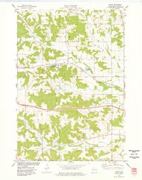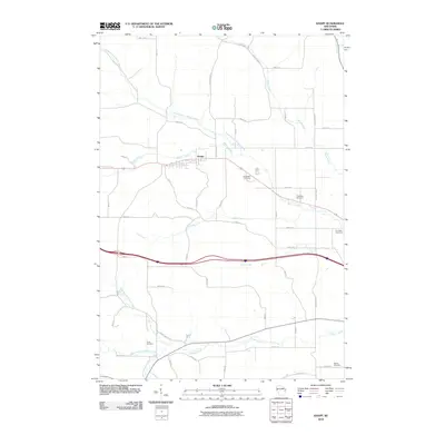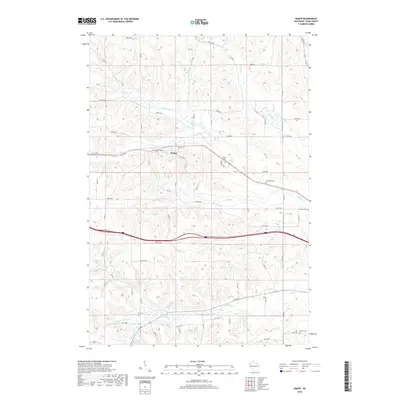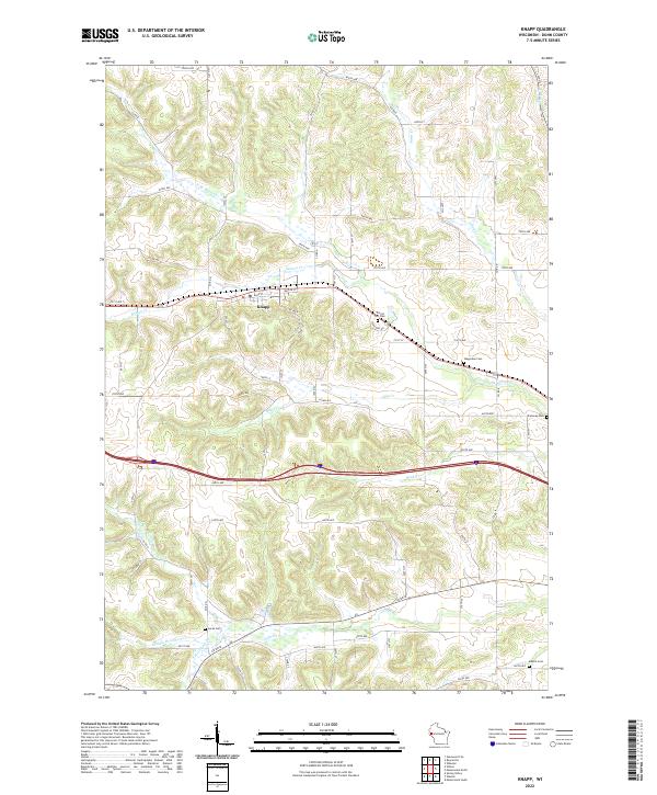
2022 Map of Knapp
USGS Topo · Published 2022About this map
The village of Knapp serves as the central hub of this modern topographic survey, situated within a landscape defined by an intricate network of waterways and glacial terrain. Several tributaries of the Gilbert Creek system, including the Middle Br Gilbert Cr and S Br Gilbert Cr, carve through the southern sections, while the northern reaches are drained by Wilson Creek and N Br Wilson Cr. These watercourses have long shaped the agricultural and settlement patterns of this portion of Dunn County.
Find a feature on this map
70 named features on this map. Tap any name to fly to it.
Don’t see what you’re looking for? This feature index may not catch every label — zoom into the map to look around manually.
Map Details
Editions of this 2022 Knapp Map
This is the sole edition of this map. No revisions or reprints were ever made.
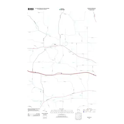
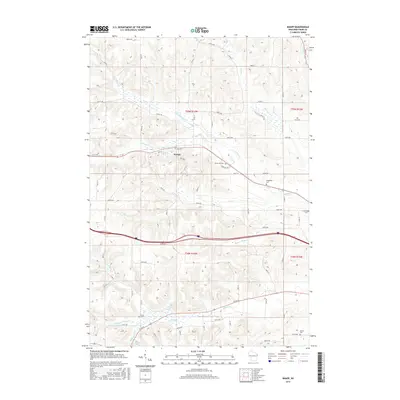
Historical Maps of Knapp Through Time
8 maps found