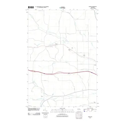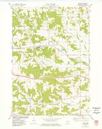
1974 Map of Knapp
USGS Topo · Published 1977About this map
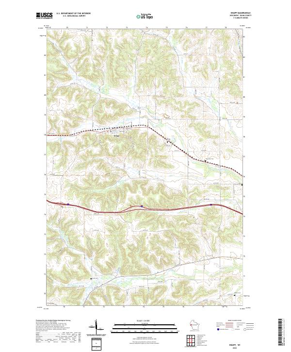
Knapp serves as the primary hub of this west-central Wisconsin landscape, situated along the Chicago and North Western rail line. The town's layout is defined by the proximity of North Branch Wilson Creek and several civic landmarks, including a local Park and Forest Hill Cem. Beyond the village, the terrain transitions into the agricultural and wooded townships of Stanton, Herman, Lucas, and Menomonie, where a dense network of streams like Annis Creek and Rush Creek carve through the topography.
Find a feature on this map
27 named features on this map. Tap any name to fly to it.
Don’t see what you’re looking for? This feature index may not catch every label — zoom into the map to look around manually.
Map Details
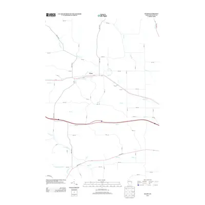
Editions of this 1974 Knapp Map
This is the sole edition of this map. No revisions or reprints were ever made.
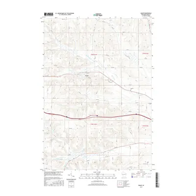
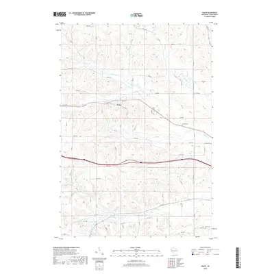
Historical Maps of Knapp Through Time
8 maps found