1953 Map of Knife River
USGS Topo · Published 1971About this map
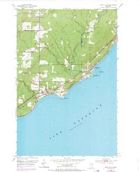
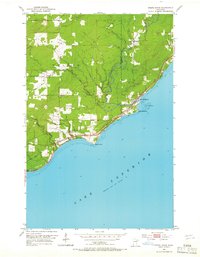
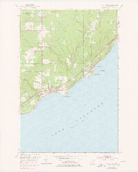
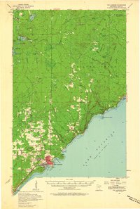
Knife River sits at the heart of this Lake County shoreline, where the river meets the vast waters of Lake Superior. The landscape is defined by the industrial and transport arteries of the North Shore, specifically the Duluth Missabe and Iron Range Railroad and the winding North Shore Drive. These routes parallel the coast, connecting the settlement at Palmers to the rugged points of the lakefront, including Stony Point and Granite Point.
Find a feature on this map
23 named features on this map. Tap any name to fly to it.
Don’t see what you’re looking for? This feature index may not catch every label — zoom into the map to look around manually.
Map Details
Editions of this 1953 Knife River Map
4 editions found
Other maps of this area
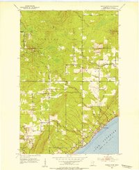
1953 · Lakewood
USGS Topo · 1:24,000
1953 · French River
USGS Topo · 1:24,000
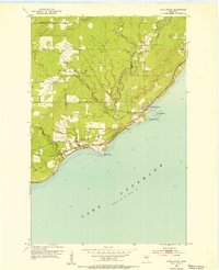
1953 · Knife River
USGS Topo · 1:24,000

1953 · Ashland
USGS Topo · 1:250,000
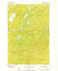
1954 · Barrs Lake
USGS Topo · 1:24,000
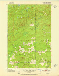
1954 · Mc Carthy Creek
USGS Topo · 1:24,000

1954 · Two Harbors
USGS Topo · 1:250,000

1957 · Two Harbors
USGS Topo · 1:250,000
1957 · Two Harbors
USGS Topo · 1:62,500

1957 · Two Harbors
USGS Topo · 1:24,000
Featured Places
- Duluth Township, MN
- Lake No. 2, MN
- Knife River, Lake No. 2
- Palmers, Duluth Township
- Saint Louis County, MN