
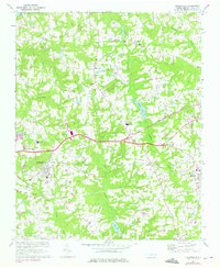
1967 Map of Knightdale
USGS Topo · Published 1972About this map
Knightdale and Wendell serve as the primary anchors for this eastern Wake County landscape during the late 1960s. The region is defined by a dense network of country crossroads and small settlements, including the curiously named Lizard Lick and rural hubs like Eagle Rock and Wake Crossroads. Transport and industry are marked by the presence of the Southern and Norfolk Southern railroads, which parallel the growth of these towns.
Find a feature on this map
33 named features on this map. Tap any name to fly to it.
Don’t see what you’re looking for? This feature index may not catch every label — zoom into the map to look around manually.
Map Details
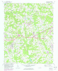
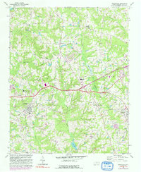
Editions of this 1967 Knightdale Map
4 editions found
Other maps of this area

1943 · Raleigh
USGS Topo · 1:62,500

1951 · Raleigh
USGS Topo · 1:62,500

1953 · Raleigh
USGS Topo · 1:250,000

1954 · Raleigh
USGS Topo · 1:250,000

1964 · Garner
USGS Topo · 1:24,000

1964 · Flowers
USGS Topo · 1:24,000

1964 · Selma
USGS Topo · 1:62,500

1964 · Clayton
USGS Topo · 1:24,000

1964 · Garner
USGS Topo · 1:62,500
1967 · Rolesville
USGS Topo · 1:24,000