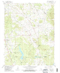
1980 Map of Knob Lick
USGS Topo · Published 1980About this map
Knob Lick and Libertyville anchor this topographic study of the Missouri Ozark foothills as they appeared in the late 1970s. The landscape is defined by its diverse terrain, ranging from the flat lands of Prairie Hollow to prominent peaks like Crow Hill, Bain Hill, and Lewis Hill. Significant local landmarks include the S-F Scout Ranch situated along the shores of Nims Lake, and the historic boundary of Mine La Motte at the southern edge of the quadrangle. Genealogists can locate several rural burial grounds and places of worship, including Harris Cemetery, Sebastian Cemetery, and Wesley Chapel. The map reveals a network of old transport routes such as Old Railroad Grade and Old Fredericktown Road, illustrating the movement of people and resources between these small farming and mining communities.
Find a feature on this map
55 named features on this map. Tap any name to fly to it.
Don’t see what you’re looking for? This feature index may not catch every label — zoom into the map to look around manually.
Map Details
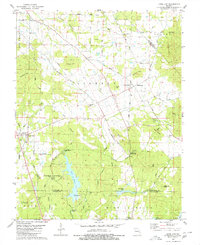
Editions of this 1980 Knob Lick Map
2 editions found
Other maps of this area

1904 · Farmington
USGS Topo · 1:62,500

1906 · Farmington
USGS Topo · 1:62,500

1907 · Weingarten
USGS Topo · 1:62,500

1909 · Weingarten
USGS Topo · 1:62,500

1910 · Higdon
USGS Topo · 1:62,500

1939 · Fredericktown
USGS Topo · 1:48,000

1947 · Fredericktown
USGS Topo · 1:62,500

1949 · Rolla
USGS Topo · 1:250,000

1950 · Fredericktown
USGS Topo · 1:62,500

1953 · Rolla
USGS Topo · 1:250,000