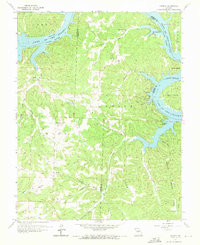
1959 Map of Knobby
USGS Topo · Published 1971About this map
The winding fingers of Lake of the Ozarks dominate this mid-century Missouri landscape, where the inundated Osage River valley meets the complex terrain of Camden and Benton counties. Small rural settlements like Knobby, Sagrada, and Lively serve as anchor points for a community connected by ridges and creek branches. The map reveals a deeply dissected landscape defined by local landmarks like Canfield Ridge and Bishop Ridge, which dictated the early path of roads and the placement of remote homesteads.
Find a feature on this map
42 named features on this map. Tap any name to fly to it.
Don’t see what you’re looking for? This feature index may not catch every label — zoom into the map to look around manually.
Map Details
Editions of this 1959 Knobby Map
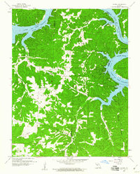
2 editions found
Other maps of this area

1887 · Warsaw
USGS Topo · 1:125,000

1888 · Versailles
USGS Topo · 1:125,000

1893 · Versailles
USGS Topo · 1:125,000

1894 · Warsaw
USGS Topo · 1:125,000

1904 · Gravois Mills
USGS Topo · 1:62,500

1934 · Irontown Ferry
USGS Topo · 1:24,000

1935 · Barnumton
USGS Topo · 1:24,000

1935 · Proctor Creek
USGS Topo · 1:24,000

1935 · Edwards
USGS Topo · 1:24,000

1935 · Boylers Mill
USGS Topo · 1:24,000