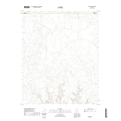
2019 Map of Knoblaw
USGS Topo · Published 2019About this map
Chisum Spring and the surrounding ranching landscape define this portion of the Texas Panhandle along the border of Hartley and Oldham counties. The terrain is characterized by a network of drainage systems, including Chisum Canyon and Sidle Canyon in the south, which cut through the high plains toward the Canadian River basin. Human activity in this arid environment is centered on water management, evidenced by numerous named catchment features such as West Bull Spring Tank, Red Tank, and Little Forker Tank. These labels, along with Lake Windmill, point to a long-standing reliance on seasonal water sources and groundwater to support livestock. Seasonal watercourses like Horse Cr and Minneosa Cr provide the primary topographic relief in an area primarily used for large-scale grazing.
Find a feature on this map
10 named features on this map. Tap any name to fly to it.
Don’t see what you’re looking for? This feature index may not catch every label — zoom into the map to look around manually.
Map Details
Editions of this 2019 Knoblaw Map
This is the sole edition of this map. No revisions or reprints were ever made.
Other maps of this area

1954 · Tucumcari
USGS Topo · 1:250,000

1958 · Tucumcari
USGS Topo · 1:250,000

1966 · Vat Camp
USGS Topo · 1:24,000

1966 · Trujillo Camp
USGS Topo · 1:24,000

1968 · Sanchez Springs
USGS Topo · 1:24,000

1971 · Romero SE
USGS Topo · 1:24,000

1971 · Doyle Hill
USGS Topo · 1:24,000

1971 · Nara Visa
USGS Topo · 1:24,000

1971 · Knoblaw
USGS Topo · 1:24,000

1971 · Spring Creek Ranch
USGS Topo · 1:24,000